Digital exhibitions of special material
Presenting digital documents together in context gives them added value. The digital exhibitions mentioned here offer a considered and well-reasoned selection of items from the Special Collections of Utrecht University Library.
Most of the exhibitions are themed. The various items on display are accompanied by – often detailed – scholarly explanations. Most of the subcollections have an introduction including the reasons for choosing the items. Some pieces originate from other institutions.
The digital exhibitions
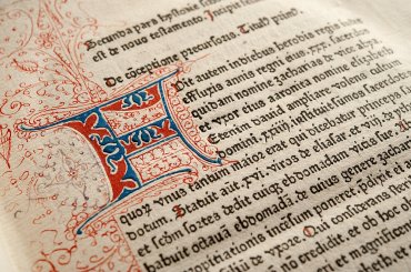
Utrecht incunabula
Admire the first printed books of the Northern Netherlands.
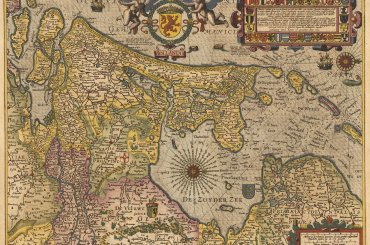
Maps of Holland and Utrecht
Over 100 maps of the Dutch provinces of Holland and Utrecht, originating from the 16th to 19th centuries.
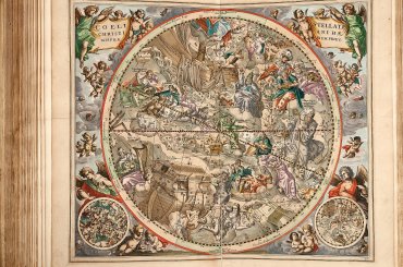
400 years of the telescope
Almost 100 sky ascending documents about astronomical phenomena.
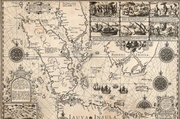
Toonneel des Aerdrijcx
The most beautiful cartographic documents, exhibited at the 75th anniversary of the Utrecht Geographical Institute.
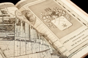
Water management maps (1600-1825)
The Dutch struggle against water in over 120 georeferenced maps.
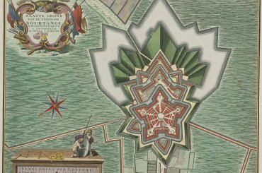
Fortress Europe: sieges and fortifications on the map
Admire over 100 georeferenced siege and fortification maps from previous centuries.
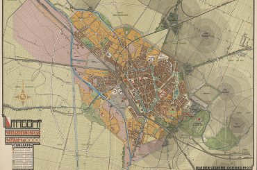
100 thematic maps
Digital exhibition about the development of Dutch thematic cartography.
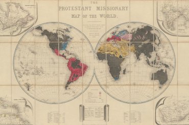
Maps with a message: missionary cartography ca. 1850-1950
A selection from the heyday of missionary cartography.
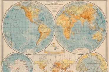
Bosatlases: mapping the world (1877-1939)
Digital exhibition of all prewar editions of the most famous Dutch school atlas, the Bosatlas.

