World maps
within the digital exhibition 'Maps with a message: missionary cartography ca. 1850-1950'
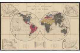 'The Protestant missionary map of the world', 1846 A cartographic showpiece!
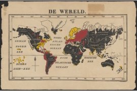 'De wereld', by T.M. Looman, 1850 The spread of protestantism
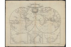 'Wereldkaart der christelijke zendingsposten', 1851 The global ambition of the missionary movement!
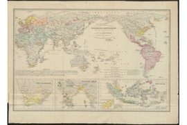 'Godsdienst en Zendingskaart voor de nieuwe tijd', 1854 One of the earliest Dutch missionary world maps!
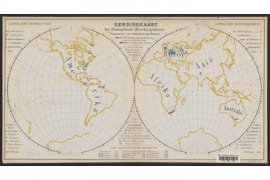 'Zendingkaart der Evangelische Broedergemeente', ca. 1868 With a subdivision into Christian and pagan areas
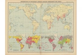 ‘Distribution of protestant mission stations [...]’ and ‘World – languages of commerce, means of traffic &c.’. In: 'World Missionary Atlas', 1925 The history of colonial expansion and exploitation in a nutshell

