Georeferencing: a second life to old maps
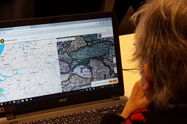
You create a virtual reality by putting an early map on top of a modern one. That's what georeferencing means. In this way you compare old to new situations. The georeferenced map layers show the changes over time. In addition, the old maps can be better analysed and are therefore better suitable for research purposes. By georeferencing Utrecht University Library wants to create perfect access to its collection of early maps for lecturers, researchers and students. The georeferenced maps can be used directly in your own geographical software and the georeferenced maps are easy to find via an interactive world map.
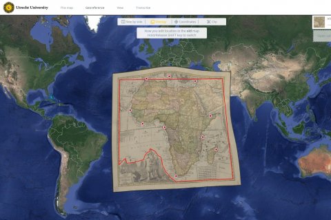
People with interest in history and maps can help georeferencing the Utrecht University Library collection of old maps, by clicking on the 'Fix the location of a map' link below (if available; otherwise wait for new projects to come). Users who georeference the most maps will be recognized in the bar displays below. Recently georeferenced maps can be viewed by image or by location.
N.B. Best viewed in Chrome and Firefox.
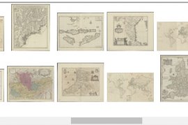
Digital access to 3,500 maps
A total sum of about 3,500 early maps have been made digitally accessible with the help of georeferencing. This was an extensive project, for which we called in a large audience by means of online crowdsourcing.
Apply georeferencing
What can be done with all these digitised and georeferenced maps? Read this article to learn how lecturers, researchers and students apply georeferencing in their daily practice. Georeferenced maps from the collection of Utrecht University Library are also used by the Utrecht Archives in the application Utrecht in perspectief; an interactive website that combines town profiles, old maps, archival documents and Wikipedia pages via linked data.
Georeferencer
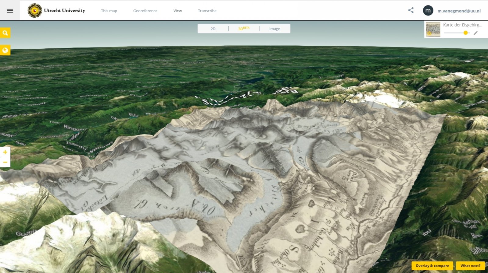
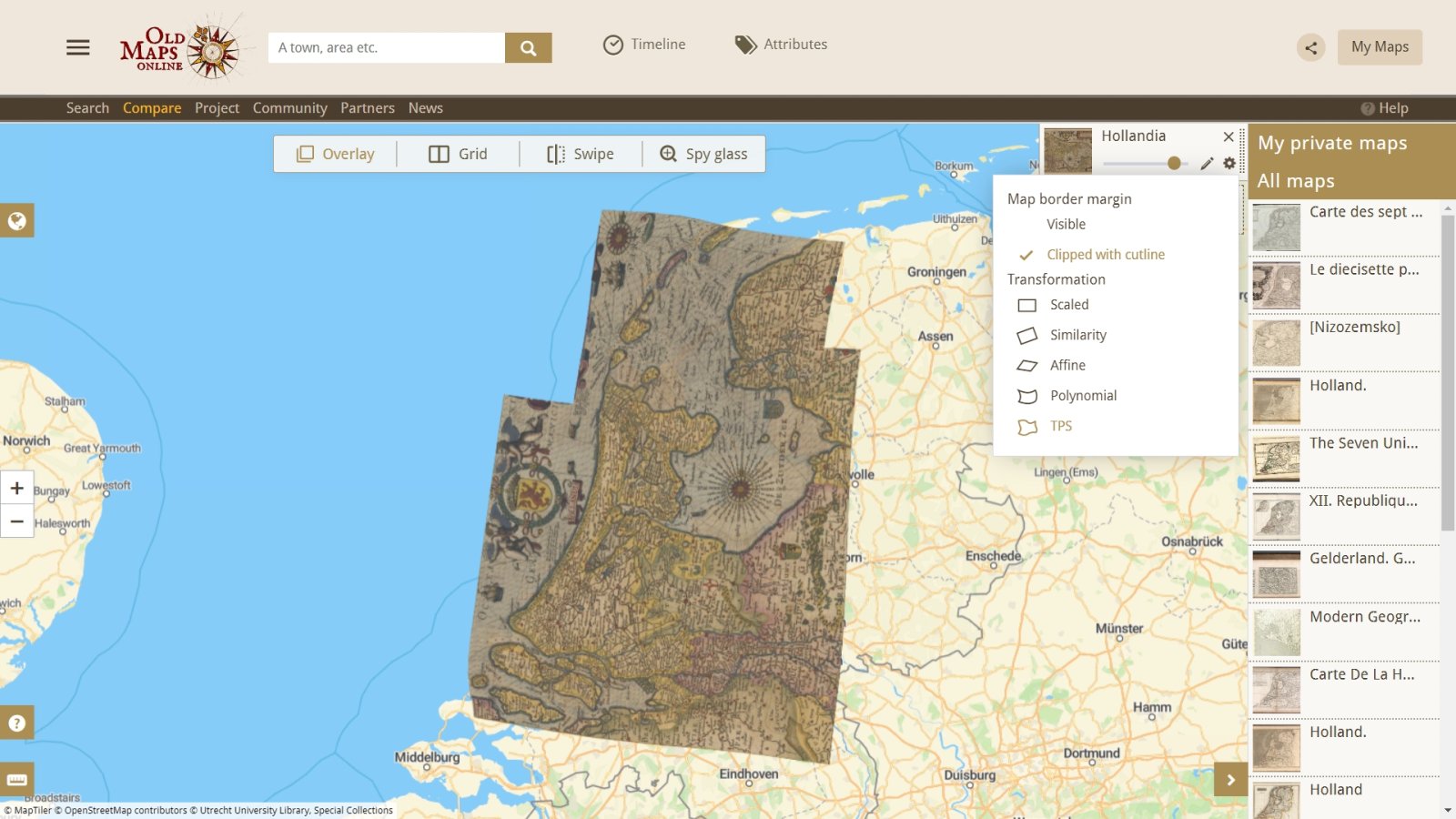
For georeferencing use is made of the innovative software of Georeferencer, version 4. Features in this version include various viewing possibilities (Overlay, Grid view to compare multiple maps, Swipe, Spy Glass, and built in 3D viewer), Transcribe and GeoEditors, and the availability of georeferenced files for re-use in own GIS applications.
Georeferencer version 4 has two main applications:
- the Georeference application with the logo of Utrecht University
- the search & compare application Old Maps Online
We will explain these applications in the next paragraphs.
Georeferencing maps in the georeference application
This window allows you to georeference maps, view maps in 2D and 3D, geoedit maps, get map links for GIS apps, transcribe annotations on the maps, and more.
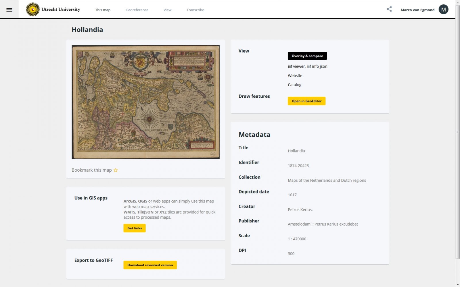
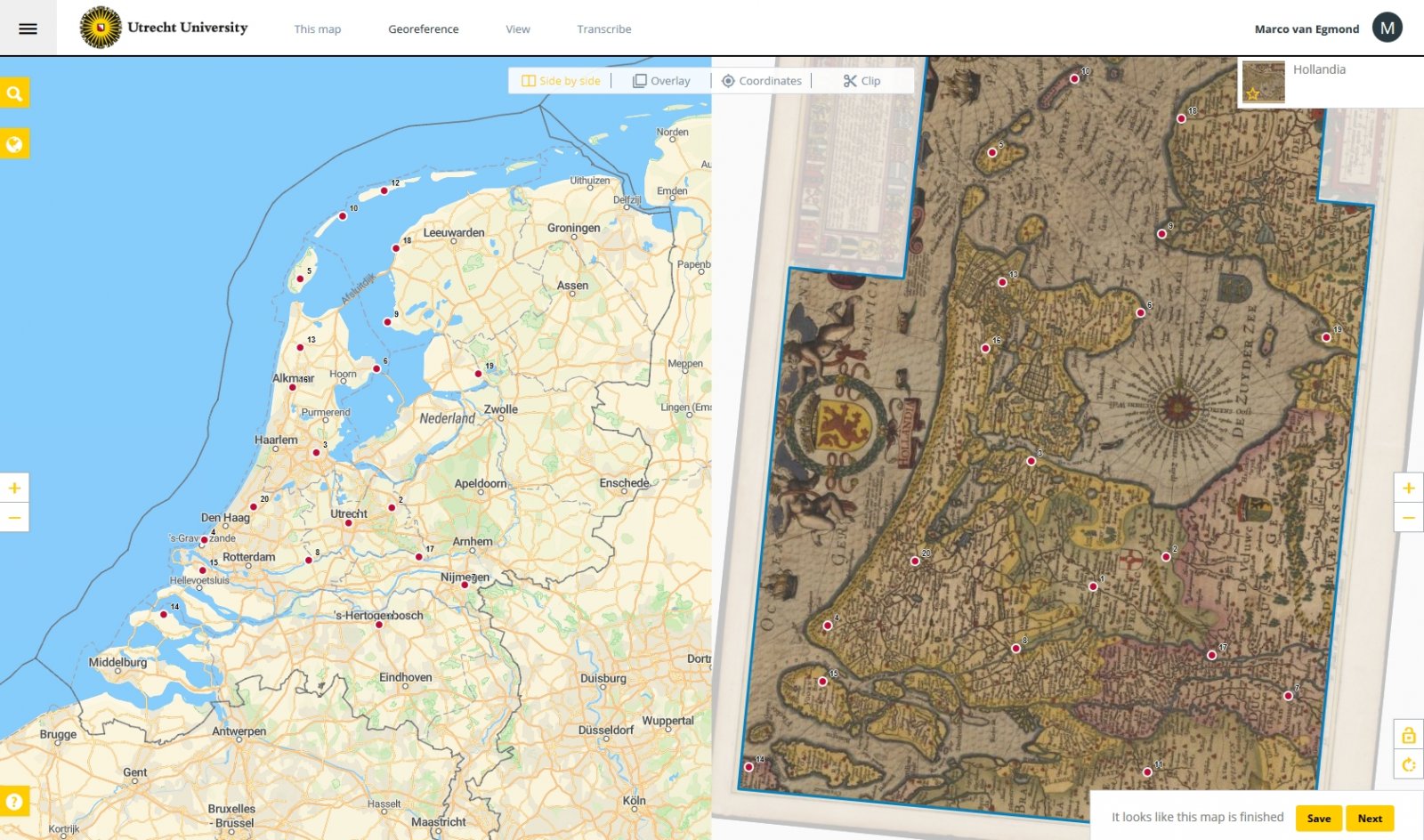
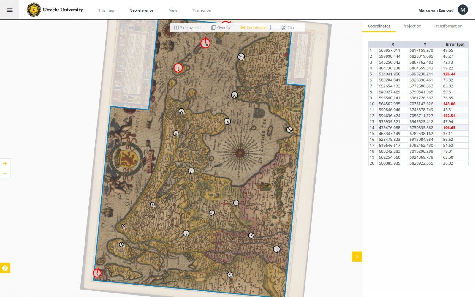
Comparing maps in Old Maps Online
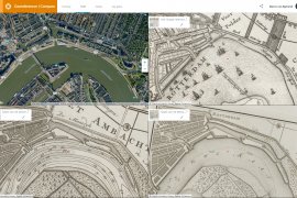
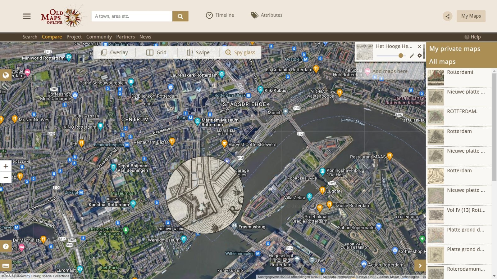
This window allows searching for maps from various sources, then comparing them using several different views: Overlay, Grid, Swipe, and Spy glass.
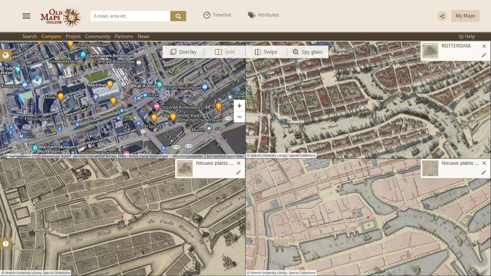
The Georeferencer 'Overlay & compare' page below shows a grid view of four maps of the environment of Rotterdam made at different times from the present back to 1649.
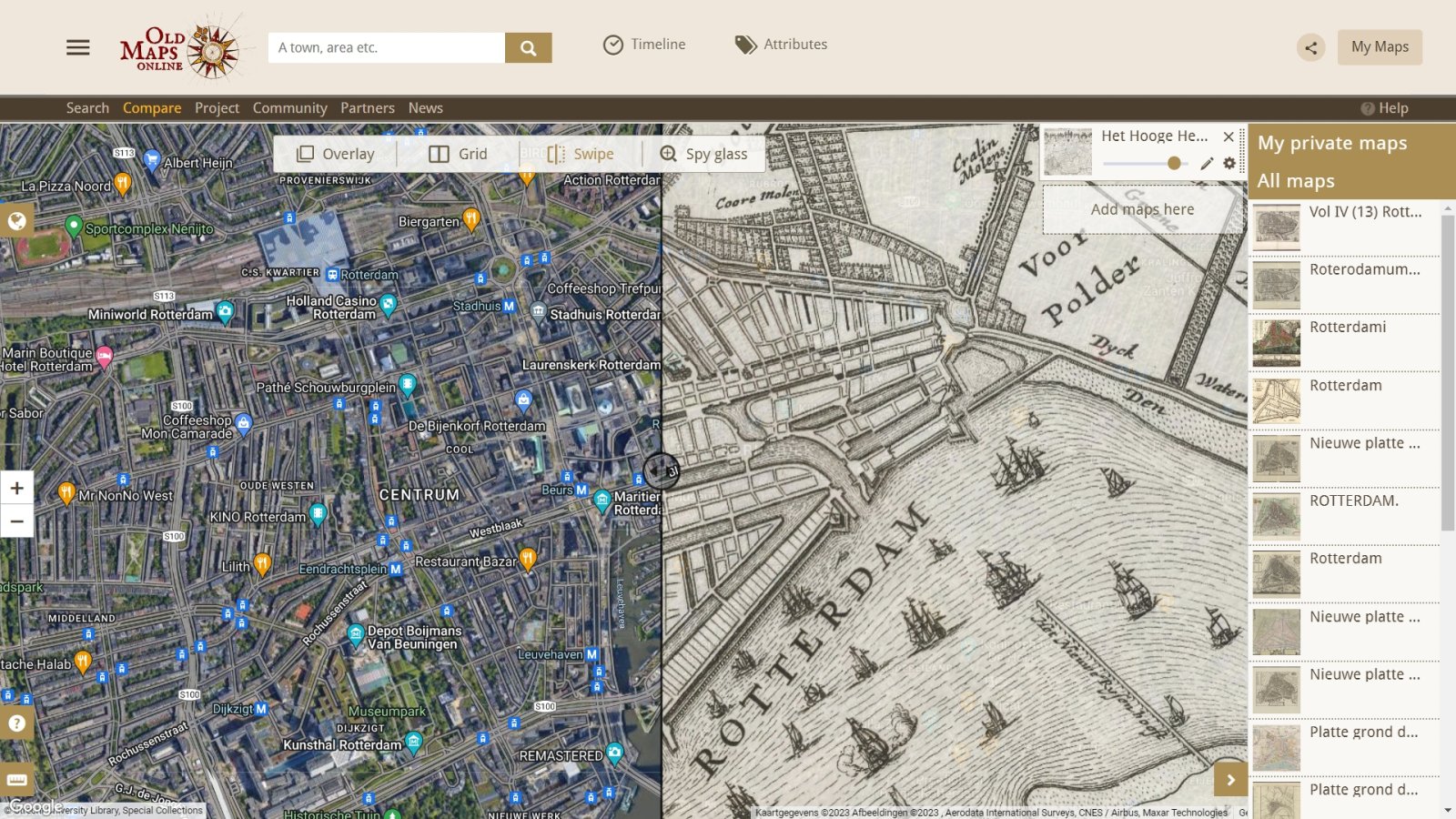
The Georeferencer 'Overlay & compare' page below shows a swipe view of two maps of the environment of Rotterdam - the present day map and the 1684 map.
The Georeferencer 'Overlay & compare' page below shows a spy glass view of two maps of Rotterdam and surroundings - the present day map and the 1684 map.
Progress of the most recent project on Blaeu atlases
Top contributors project on Blaeu atlases
Project on maps in the Ackersdijck Collection (finished!)
The georeferencing project on maps in the Ackersdijck Collection was made possible by a generous gift of EGIS (Foundation European Conference on Geographical Information Systems). Jan Ackersdijck (1790-1861) was a Utrecht professor economics and statistics. He set up an own map collection, and used these documents among other for his courses. In 1864 the collection of about 1,500 maps was donated to the Utrecht University Library by his widow. The books and archives of Ackersdijck were also donated to the library.
Progress of georeferencing of all maps
Top contributors all time
Search engine
All georeferenced maps of the Utrecht University Library are accessible through a powerful search engine (search for key words, scale, timeline etc.), which can also be opened full screen for a better performance:


