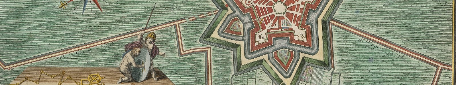
Fortress Europe: sieges and fortifications on the map

The year 2014 was the 300th anniversary of the ending of the War of the Spanish Succession (1701-1713/14). Utrecht University Library houses a large collection of siege maps, fortification plans and engineers’ maps, offering a splendid visual image of the events during the War of the Spanish Succession. Also of many other wars in the turbulent 18th and preceding 17th century the library has often unique cartographic material in its vaults.
The digital exhibition Fortress Europe: sieges and fortifications on the map shows in chronological order over 100 cartographical documents dating back to the period between 1600 and 1835 and which all relate to siege maps and fortification plans of mainly European towns, from the 18th century. The maps are georeferenced which means that they can be analyzed in an innovative way in geographical information systems like Georeferencer. By clicking on a thumbnail below the map opens in the viewer. Here in the menu left one can choose viewing the document in Georeferencer ('Georeferences'). Via 'Full view of record' you will find an extensive description of the specific map.


