Software, models and datasets
Software

PCRaster
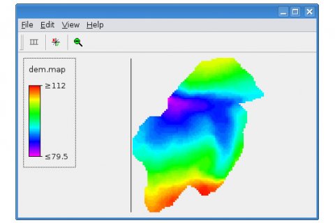
The PCRaster Environmental Modelling language is a computer language for the construction of iterative spatio-temporal environmental models. It runs in its own raster GIS environment that supports immediate pre- or post-modelling visualisation of spatio-temporal data. Current development focuses on 3D (voxel) dynamic modelling. The PCRaster package is free to use. PCRaster website
Models

Models
PCR-GLOBWB
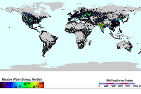
PCR-GLOBWB is for global simulations of water cycles on land. PCR-GLOBWB website


