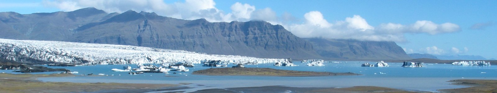
The Antarctic icecap lost one-third of its mass 1.2 million years ago
The Antarctic ice sheet is capable of losing up to one-third of its mass during warm interglacials. An international team of scientists, led by NIOZ Royal Netherlands Institute for Sea Research found evidence for a sea-level highstand 1.2 million years ago which is three times higher than calculated in the current ice sheet models. Bas de Boer, researcher at Utrecht University, designed the new ice-sheet model that was used in the study. The results were published in the journal ‘Quaternary Science Review’ on 28 August.
The findings of this research point at the Antarctic Ice Sheet instability during interglacial periods. It provides a further strong case in the on-going discussions about the degree of Antarctic Ice Sheet contribution to global sea-level change in response to a warmer climate that we should prepare for. “This new finding shows once more that Antarctica is unstable and definitely prone to release huge amounts of water during warm interglacials”, says NIOZ scientist Dr. Paolo Stocchi. “Reconstructing events in the geological past help us to understand the physical processes that regulate the response of ice sheets to climate change and, most importantly, all the uncertainties. We can therefore improve to forecast the future.”
It was a stalactite that led to new information about the sea-level stand in the Middle Pleistocene Transition, a geological time 1.2 million years ago where very little is known about. The Custonaci stalactite, found in a karst cave in North West Sicily in Italy, provided the scientists with evidence of four marine inundations that correspond to this time. The measured age of the corals on the Custonaci stalactite was 1.123 million years (based on Uranium/Thorium ratios and Strontium 87/86 isotopic ratios), which makes it the oldest known speleothem containing marine hiatuses.

Custonaci stalactite
Geomorphological features such as stalactites that are found in karst caves connected to the sea, are commonly used to reconstruct past sea-level changes. The stalactites grow as a result of calcite deposition when they are exposed to air. However, their growth is interrupted during marine flooding events caused by sea-level rise and which result in dissolution and erosion of the stalactite. A cross-section of the Custonaci stalactite reveals three concentric rings, or hiatuses, that can be converted into sea-level changes when the height of the stalactite with respect to mean sea level is known. To correlate the four observed hiatuses with the corresponding sea levels, the authors have first reconstructed the long-term elevation of the cave based on geological evidences for tectonic uplift. Then they intersected the cave with reconstructed sea-level curves based on independent deep-sea sedimentary data as well as predicted sea-level curves based on numerical ice-sheet models.

Results & relevance for the future
The authors identified the Marine Isotope Stage (MIS) 35 in the Mid-Pleistocene as the last flooding event during which the corals attached themselves to the stalactite. The coral species that have been identified on the Custonaci stalactite can grow in marine caves at depths of 20-30m. At that time, the cave was at a height of few meters above present-day sea level (and has been uplifted by about 100 m since then). Therefore, a significant melting of continental ice from Antarctica, occurred during MIS 35. Of the current Antarctic ice-sheet, and based on most recent estimates, 30 to 40 percent would need to melt to cause such a sea-level rise of 20 to 30m in the Mediterranean. This would imply that not only the more unstable West-Antarctic ice sheet melted, but also part of the East-Antarctic ice-sheet.
However, the ice-sheet models used only estimated a less than 10m rise in local sea-level, coming from West Antarctica only. The reason for such an underestimation is likely to be found in the incorrect forcing that is used as input in the models to simulate ice-sheets fluctuation. Thus, for this study Utrecht University researcher Dr. Bas de Boer (IMAU, Institute for Marine and Atmospheric Research), designed a new ice-sheet model. De Boer: "For the simulations with the ice-sheet models, we used the mean figures of global climate change. With a better representation of how temperature and precipitation change over the ice caps, we hope to be able to simulate and understand sea level increases in the future."
Publication
Stocchi, P .; Antonioli, F .; Montagna, P .; Pepe, F .; Lo Presti, V .; Caruso, A .; Corradino, M .; Dardanelli, G .; Renda, P .; Frank, N .; Douville, E .; Thil, F .; De Boer, B .; Ruggieri, R .; Sciortino, R .; Pierre, C. (2017). Een stalactietrecord van vier relatieve zeespiegelhoogtes tijdens de Middle Pleistocene Transition. Quat. Sci. Openb. 173: 92-100. https://dx.doi.org/10.1016/j.quascirev.2017.08.008
Related news

Rapid rise in sea level not solely dependent on greenhouse gases
Twenty to thirty million years ago, when CO2 concentrations in the atmosphere were similar to today’s levels, the Antarctic ice cap underwent cycles of enormous growth and shrinkage.

1997 was ‘tipping point’ for ice caps around Greenland’s edges
It appears that around 1997 the ice caps’ deep snow cover became saturated with refrozen meltwater, breaking down that mechanism and causing mass loss acceleration