‘Atlas of the Underworld’ maps out the world under our feet
For the first time, the Earth’s mantle has been fully mapped. The geoscientists at Utrecht University who are responsible refer to it as the Atlas of the Underworld. The Atlas will help scientists determine the location in the mantle where tectonic plates that have disappeared in the past 250 million years have sunk. They will publish their results in Tectonophysics on 19 October.

Detecting slabs
The outermost layer of the earth, the lithosphere, consists of various tectonic plates that 'float' on the earth’s mantle. These plates move independently of each other, and in some areas where they meet, large areas of one plate move under the other. This phenomenon is known as subduction. The sections of the plates that continue to move slowly downwards into the mantle are known as slabs.
Geoscientists at Utrecht University used a kind of CT scan of the earth, which was made with the help of seismic waves, to discover where and at what depth these slabs are located in the Earth’s mantle. They found around 100 of them, located anywhere from near the Earth’s surface to the bottom of the mantle, at a depth of more than 2900 km.
Geological scars
Subduction causes geological ‘scars’: examples include mountain ranges like the Andes and the Himalayas, and volcanic arcs such as the Pacific Ring of Fire. Through a step-by-step linking of the slabs to these scars, with older geological scars being linked to deeper slabs, the scientists have succeeded in discovering when the plates underwent subduction and how quickly they sunk.
In the past, isolated slabs were linked to mountain ranges, but there was no overall picture. “That led to great uncertainty in the correlations, especially in the case of slabs that underwent subduction more than 50 million years ago,” explains Douwe van der Meer, the first author, who will be gaining his PhD for his work on the subject on 25 October.
Mapped for the first time
In recent decades, the CT scans have become much more detailed. The Utrecht University researchers used their own scans as a basis for their work. “This is the first time that the slabs all over the world have been mapped,” says Wim Spakman, one of the three researchers. Together with his colleagues Douwe van der Meer and Douwe van Hinsbergen, he gathered data from the geology across the Earth from the last few hundreds of millions of years to construct the Atlas of the Underworld. “Much of the information was already available, but mostly in the form of more or less isolated research projects. We have put all the pieces together, rather like a jigsaw.”

The atlas is only the beginning
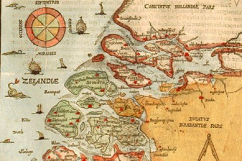
The Atlas of the Underworld gives a clear, worldwide-based picture of where the slabs are and at what depths, where they sunk into the earth’s mantle, and therefore the ranges of mountains or volcanoes, active or fossil, to which they are linked. “But like the very first world map by Abraham Ortelius in the sixteenth century, this one is not yet complete,” says Van der Meer. “Worldwide geological research will undoubtedly yield data that show that some of our interpretations need to be adjusted. We welcome new information, and have set up a website where anyone is able to view our geological interpretations, and to which colleagues who wish to make any corrections can provide feedback. That will help us make the atlas even more accurate.”
Applications for the atlas
The researchers have spent around fifteen years working on the atlas, and are actively developing applications for it. For example, they are using the new knowledge of the evolution of the earth’s mantle to develop new methods of detecting ore deposits. Van der Meer actually used the atlas to calculate in his dissertation how much CO2 has been emitted into the atmosphere by volcanoes in the past, and how high sea levels were in the last few hundred millions of years as a result of plate tectonics.
Van Hinsbergen believes that the work will be used much more broadly: “Making an atlas is a long-term work of precision, and the end-result may at first sight look like a coffee table book. But it should be remembered how often people use world atlases for purposes that never crossed the maker’s mind. We expect the same to be true of the Atlas of the Underworld for geoscientists.”


