Optimizing land use

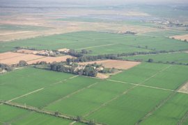
Conflicting claims on land
The growing human population is increasing the global food, water and energy demand. The continued unsustainable use of the world’s resources demands spatial planning that optimizes ecosystem services, takes the needs and interests of different stakeholders into account and conserves the biodiversity of ecosystems. There is an urgent need in the broader policy arena for improved methods to identify potential trade-offs between different land-uses at different scales such as local, regional and national.
Modelling and mapping
In the Academy, we contribute to improved spatial planning by reconstructing past land use and by quantifying the effects of current and future land use on ecosystem services. Our cutting-edge research on how claims on land can be reconciled and optimized focuses on a variety of projects from the global to various sub-global scales, spanning continents. Spatial modelling plays an important role in our research, for instance through quantifying the impacts of land use change on carbon stocks, biodiversity and water, and according to different scenarios. We successfully apply participatory mapping of ecosystem services to investigate the dependency of local farmers and forest users on ecosystem services and safeguard their livelihoods.
How can different claims on land be reconciled at the landscape scale?