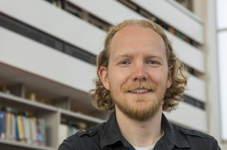
Tristan van Leeuwen receives prize for mathematical research with applications in geosciences
Jury praises ‘exceptional contribution’ and leadership

Dr. Tristan van Leeuwen (Mathematics) received the SIAM Activity Group on Geosciences Junior Scientist Prize this year. The jury praised Van Leeuwen for his “exceptional contribution to the theory, algorithms and large scale computing of seismic inverse problems, and for his leadership in the field of mathematics based seismic imaging.” Every two years SIAM, the Society for Industrial and Applied Mathematics, awards this prize to a young, promising researcher in the field of mathematics with an application in the geosciences.
Van Leeuwen has been working as an assistant professor at Utrecht University’s Faculty of Science since 2014. He was pleasantly surprised to receive the prize: “I didn’t expect this. This international recognition has inspired me to remain active at the interface between mathematics and geoscience.”
Ten to one hundred times faster
Seismic measurements are often used to find and measure oil and gas fields. This is carried out using thousands or tens of thousands of measurements over an area of many kilometers, usually at sea. Because oil and gas reflect the sound in a different way than for example water and rocks, it is possible to use measurements of the reflection of shockwaves to construct an image of the subsurface.
Tristan van Leeuwen works on the mathematical algorithms that are required in order to convert the measurements into an image of the subsurface. Due to the large number of measurements this is a complex problem which requires a long computation time. Van Leeuwen developed a way to calculate which measurements are the most important, so that fewer measurements are required for a complete image. His calculation methods are ten to one hundred times faster than earlier methods.
Live mapping
Van Leeuwen already has ideas for future research. “I want to ensure that the analysis is so fast that we can map the subsurface live, while carrying out measurements. It would then be possible to adjust the location of the measurements, so that less measurements are required.” He would also like to determine the reliability of the analyses by performing multiple simulations and then comparing their results.

